The final plan set for the Snakeden watershed has been submitted to Fairfax County. Construction of Reach 4 is complete, and construction of Reach 5 has commenced.
See the FAQ for trail closing information.
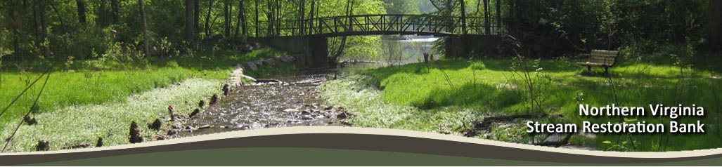
The Northern Virginia Stream Restoration Bank (NVSRB) is a partnership between Wetland Studies and Solutions, Inc. (WSSI) and The Peterson Companies (TPC), working in concert with the Reston Association (RA). The goal of NVSRB is to restore approximately 26 miles of degraded streams (14 miles in Phase I) in Reston, Virginia, to the benefit of all involved.
We invite you to keep apprised of the project and the current work going on in your neighborhood throughout the process. Feel free to browse this site for more information: take a look at our timeline or see the project in pictures. Peruse the frequently asked questions, or ask a question that we haven't yet answered. Learn what's involved with archeology, survey, GIS, ecology, or engineering design.
Use the interactive map below to find out what's going on in your neck of the woods.
Reston Stream Reaches by Watershed |
||
|---|---|---|
Snakeden Watershed |
The Glade Watershed |
Colvin Run Watershed |
Reach 1 |
Reach 1 |
Baron Cameron |
Reach 2 |
Reach 2 |
Bennington Woods |
Reach 3 |
Reach 3 |
Buttermilk Creek |
Reach 4 |
Reach 4 |
Forest Edge |
Reaches 5 to 8 |
Reach 5 |
Vantage Hill |
Reaches 6A, 6B, and 8A |
Reach 6 |
Lake Anne |
Reaches 9 to 11 |
Lake Newport |
|
Reach 12 |
Wiehle Avenue, Reach 1 |
|
Reaches 13 to 15 |
Wiehle Avenue, Reach 2 |
|
Reach 16 |
Tall Oaks |
|
Reach 17 |
||